What this guide proves
A build team can prove which layer of a Cogalloy T1 Advanced navigation stack is ready: power, controller, tracked motion, feedback, scan data, transforms, mapping or supervised navigation. The result is a repeatable baseline, not a blanket safety certification.
Hardware and scope boundary
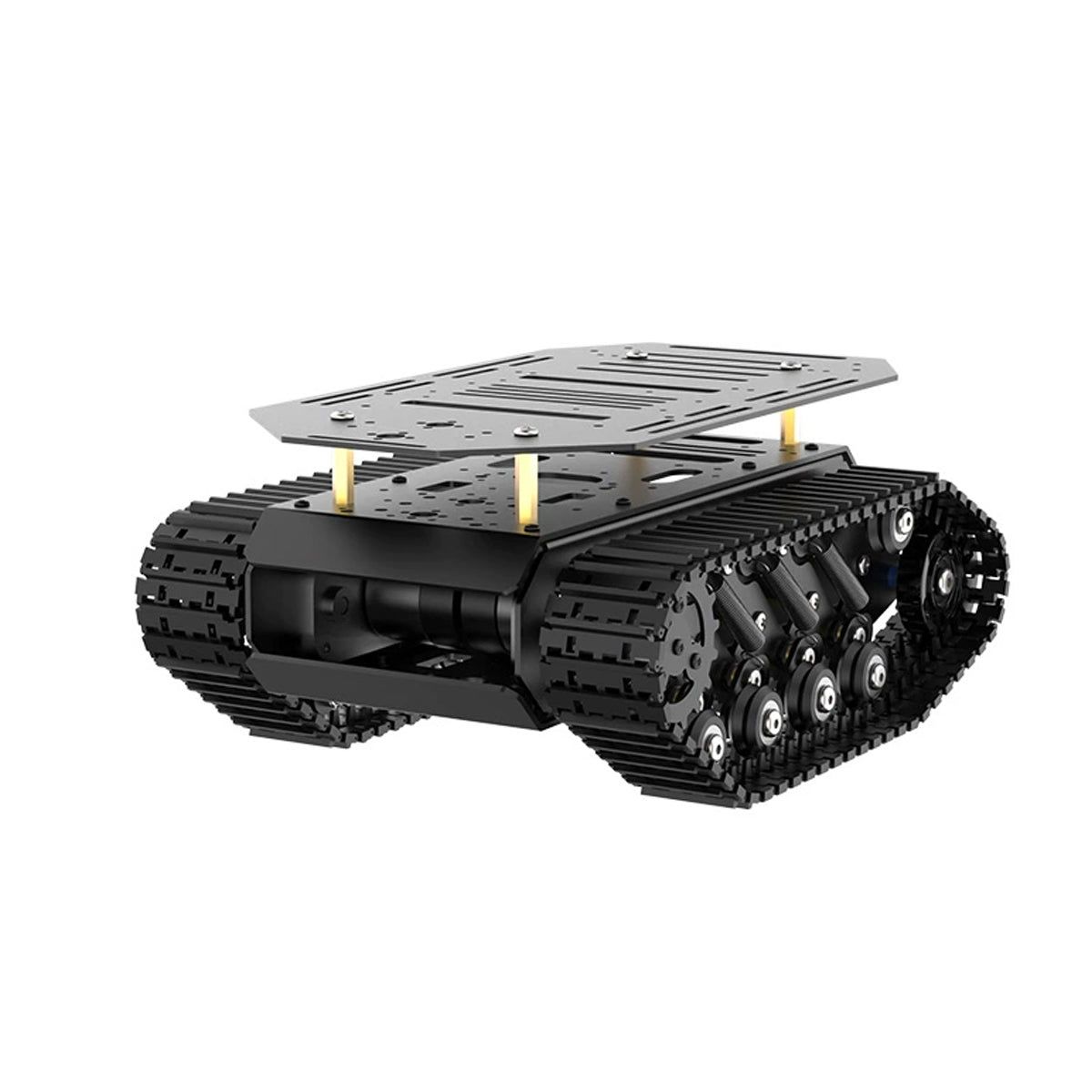
This reference chain combines COG-T1-TRACK-BASE for mobility, COG-RRC-LITE for low-level integration, COG-RPI5-8GB for ROS 2, and COG-MS200-LIDAR for planar scan data. Every connector, firmware version and supplied configuration still needs order-specific confirmation.
Prepare before applying power
Keep a build sheet with software versions, battery state, sensor mounting height, controller firmware, transform names and speed limits. Test in a bounded indoor area with an accessible power-disconnect method and one observer.
Procedure
- Gate 1 — power and thermal: repeat a stationary observation under expected host and sensor load. Log voltage behavior, Pi temperature and controller stability.
- Gate 2 — manual motion: repeat the low-speed cmd_vel test, checking track direction, encoder sign, IMU response and stop timeout.
- Gate 3 — raw perception: mount MS200 level with an unobstructed scan plane, verify its 5 V path and continuous raw scan before adding SLAM.
- Gate 4 — geometry: validate base_link, LiDAR frame, IMU frame and any wheel or track convention in RViz or a TF inspection tool while the robot is stationary.
- Gate 5 — repeatability: build a small supervised map, restart the stack, relocalize at a known pose and repeat a short conservative route. Change one variable at a time when a result fails.
Pass criteria and record
Each gate has a dated observation, configuration snapshot and clear pass/fail note. The build passes only when a second run reproduces the baseline without a data drop, uncontrolled motion or unexplained transform error.
Do not proceed when
Stop autonomous-motion testing for inconsistent power, uncontrolled behavior, stale or intermittent sensor data, unclear transforms, failure to localize repeatedly, or an obstacle class that the single scan plane does not detect reliably.
Continue from here
Use the SLAM and Nav2 guides to evolve this baseline. Add RGB-D perception only when the task requires information outside the 2D LiDAR plane.